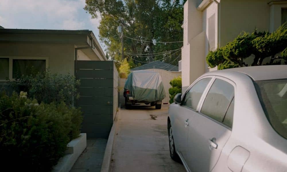
If your home shares a driveway with the house next door, you already know it’s different from having your own private lane. Two families use the same strip of pavement. It’s not always clear where one yard ends and the other starts. This setup shows up a lot on older lots. Narrow parcels and tight subdivisions made a shared driveway the easy answer years ago.
A boundary survey answers the main question here. It shows the real property lines next to that driveway. Then you can see if the pavement sits on one yard, crosses both yards, or matches a recorded easement. That answer matters before you repave, add a fence, put in a gate, or run into a disagreement with your neighbor about parking.
Where the Shared Driveway Sits Relative to Each Parcel
A boundary survey starts by finding the real property corners and lines. Then it shows how the driveway falls across them. On many lots with shared access, the paved surface doesn’t sit neatly on one side of the line. It might sit mostly on one yard. It might cross both yards. It might even sit outside both yards, inside a separate access easement.
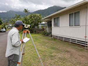
This matters because the driveway you see and the legal line on paper are two different things. A surveyor measures the real boundary using records, markers, and field checks. Then the surveyor plots the driveway’s true spot against that line. You end up with a clear picture of who owns the ground under the pavement, even if both homes have used it the same way for years.
Once you know where the line falls, other questions get easier. You can see if a new gate or planter box would sit on your neighbor’s side. You can also see if a repaving job would touch land that isn’t yours.
Why Driveway Pavement Does Not Define Access Rights
Knowing where the pavement sits is only half the answer. The driveway’s spot on the ground does not create or prove a legal right to use it. Two homes can share pavement for years without either side having a recorded right that protects that use.
Access rights come from recorded papers, not from how long an arrangement has lasted. A deed, plat, or separate easement paper is what grants the real right to cross another owner’s land. If nothing was ever recorded, the shared driveway might run on plain habit instead of a real right. That can cause trouble later if one owner sells the home, builds something new, or decides to block access.
A boundary survey can show where the driveway sits. It can also flag whether that spot matches any recorded easement area. It won’t decide how strong that access right is on its own. But it gives you the facts an attorney or title company would need to answer that question.
When Fences, Gates, and Parking Change the Access Picture
Small changes near a shared driveway can shift the access picture over time. A new fence line, an added gate, a carport that sticks out, or a habit of parking a second car across part of the drive can all cut down the room left for both homes.
These changes matter more when the driveway already sits close to the edge of a recorded easement. A fence that looks harmless from the yard can cross into the recorded access area once it’s measured against the real line. The same goes for a gate meant to control entry. If it sits inside the neighbor’s part of a shared easement, it can cause a conflict even when no one meant any harm.
A boundary survey records the current setup and measurements at a set point in time. That record gives both owners solid facts to point to if a dispute comes up later about whether an improvement narrowed the drive, blocked a turn, or crossed into land the other person controls.
Check the Boundary Before Changing a Shared Driveway
Before you repave, widen, add a gate, or change anything about a shared driveway, it helps to check the boundary first. Skipping this step means making choices based on where the driveway looks like it sits, not where the real line falls.
This matters most if your project touches the edge of the paved area. Stretching the driveway a few feet, adding drainage along one side, or building a small wall near the edge can all reach past your own land without a clear boundary check. A survey done before the work starts gives you real facts to plan around, talk to your neighbor about, and stay inside your own land or the recorded easement.
It also stops both homes from assuming the current setup is set in stone just because it’s been that way for years. Checking the boundary before work begins is a small step compared to sorting out a conflict once the work is already done.
Match Survey Findings With the Recorded Access Documents
The last step ties the field measurements back to the paper trail. A boundary survey shows where the driveway sits today. Comparing that against deeds, easement papers, and TMK parcel records shows whether what’s built on the ground matches what’s actually on file.
Sometimes these line up. The driveway sits right where an old easement says it should, and both owners have clear papers backing the shared use. Other times, the survey turns up a gap. The pavement might stretch past a recorded easement’s line, or there might be no recorded easement at all, just years of informal shared use between neighbors.
Either result is useful to know. If the records and the survey match, you have proof that the setup is documented and solid. If they don’t match, you know there’s a conversation worth having. That could mean formalizing an easement, changing how the driveway gets used, or getting legal advice on the next step.
Frequently Asked Questions
Can two homes have separate boundaries but use one driveway?
Yes. It’s common on older lots for two separate yards to share one paved driveway even though each home has its own line. The shared use usually comes from a recorded easement or a long-running informal setup, not from the yards being combined.
Does a TMK map show exactly who owns a shared driveway?
A TMK map marks out parcels for tax and ID purposes. It isn’t detailed enough to show the exact spot of a driveway or prove easement rights on its own. A boundary survey gives you the close measurements needed to see how the driveway lines up with each yard’s real border.
Should both neighbors be present when a shared driveway is surveyed?
It’s not required, but it can help. When both owners see the same findings at the same time, follow-up talks about access or new improvements tend to go smoother.