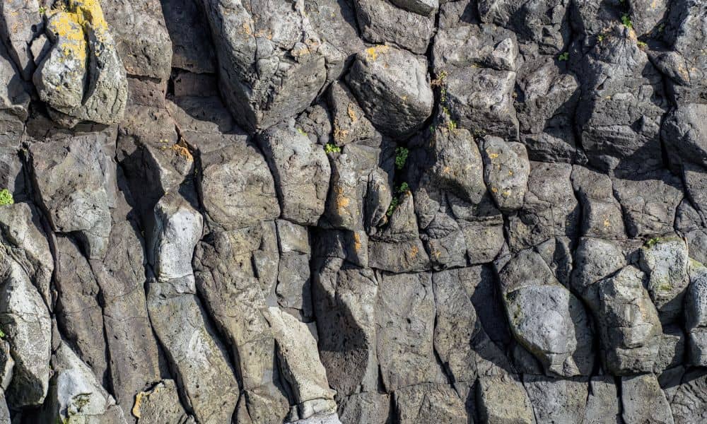
Lava rock walls line streets and backyards all over Honolulu. Many homeowners want one along the edge of their lot for privacy, a clean finished look or to hold back a little soil. Before a mason sets the first stone, you need to know exactly where your land ends, and a property line survey is how you find that out.
Moving a finished rock wall is hard work. The stones are heavy, and the base may sit in concrete. A mortared wall can’t be nudged a few inches after it cures, so the layout you pick at the start is the layout you’ll likely live with for decades.
Survey the Property Line Before Choosing the Wall Alignment
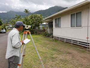
The wall’s position should come from the surveyed boundary. A hedge, an old fence or a line on a county map can’t tell you where your land legally ends. A licensed land surveyor finds your corners using deeds, recorded maps and measurements taken on the ground, then shows you where the line runs.
That research can take real effort on Oahu. Some parcels here are registered in Hawaii’s Land Court system, while others fall under the Regular System, and the surveyor works with whichever records apply to your lot. Older descriptions, past lot splits and missing corner markers can all make the line harder to find than it looks from your yard.
Once you know where the line is, you can make the real decision. You might keep the whole wall on your side, set it back a short distance or build on the shared line with your neighbor. That last choice usually calls for a clear written agreement, and a real estate attorney can help you put one together.
Account for the Full Width of a Lava Rock Wall
A lava rock wall takes up far more ground than a wood fence. Knowing the line doesn’t tell you where the wall can go until you know how wide the wall will be at its widest point. That point is usually at or below ground level.
Many rock walls are thicker at the bottom than at the top. Masons often build the face so it leans back slightly as it rises, which is called a batter. A concrete footing under the stones can also stick out past the face of the wall. If you measure only from the top of the wall, the base could end up closer to the line than you planned, or even past it.
Ask your mason for these numbers before anyone plans the layout:
- Width of the wall at its base
- Width at the top
- How far the footing extends past the stone face
- Whether the face will lean back as it rises
With those figures in hand, you can place the widest part of the wall where it belongs. The outer edge of the footing is the part that matters most for the boundary.
Check Corners, Slopes, and Irregular Lot Edges
Corners, slopes and bends in the lot line are where wall layouts tend to go wrong. A straight run across flat ground is fairly simple. Honolulu has plenty of hillside and valley lots, though, and those rarely stay simple.
Slopes cause a quiet problem. Survey distances are measured flat, as if the ground were level. A tape stretched along a sloped yard reads longer than the true horizontal distance, so a wall stepped down a hill can drift if the crew measures along the dirt instead of from marked points.
Lot lines don’t always run straight either. A front line may curve to follow the street, or a side line may bend at an angle point partway back. Your wall has to turn where the line turns. Ask the surveyor to mark those bends and the ends of any curves, not just the four main corners. Also flag any spot where the new wall will meet another wall, a driveway or a neighbor’s building.
Compare the Wall Layout With Easements and Required Setbacks
A wall can sit fully on your land and still land somewhere it shouldn’t. An easement gives someone else a right to use part of your property. It may cover utility lines, a drainage path or access for another lot. A heavy stone wall built across one of these areas can create problems later.
Ask your surveyor whether the survey will show recorded easements. Share any title report or past survey you have, since those often list them. Your lot may also have limits on wall height or placement set by the City and County of Honolulu Department of Planning and Permitting. Those rules can depend on zoning, wall height and where the wall sits, so confirm them with the department or your designer before you finalize the plan.
The street side needs extra care. The front property line doesn’t always match the edge of the sidewalk or pavement. Public land can extend a few feet past where the pavement stops, and a survey shows where your lot actually begins.
Resolve Survey and Wall Layout Conflicts Before Masonry Begins
If the survey turns up a problem, fix the plan while it’s still on paper. Common conflicts include an old wall that sits off the line, a neighbor’s hedge that crosses over or a planned wall that’s too wide for a narrow side yard. An easement running right where you hoped to build is another one.
You have several ways to handle these. You can pull the wall in from the line, make the design narrower or end it short of a tight spot. When the issue involves a neighbor, a calm conversation with the survey drawing in hand tends to go better than one based on opinions about where the line “should” be.
Once you settle on a layout, ask the surveyor to mark the points your mason will build from. Then walk the site with your mason before any digging starts. Everyone should work from the same drawing and the same marks in the ground.
Frequently Asked Questions
Should the mason use tax map lines to position a lava rock wall?
No. Hawaii’s Tax Map Key maps help identify parcels for tax purposes, and online parcel viewers show rough outlines. Neither one gives the exact legal boundary you need for placing a permanent stone wall.
Can an existing lava rock wall be assumed to mark the property line?
Not safely. An older wall may sit right on the line, a few inches inside it or partly on the lot next door. The only way to know is to compare the wall’s actual position with the surveyed boundary.
Should both ends of a planned wall be marked before construction?
Tell the surveyor what your contractor needs for layout. Depending on the project, that may mean marking the wall’s ends, any bends in the line or reference points beyond the basic property corners. Talking this through before fieldwork saves a second visit.